Blisworth Book Centrefold Map
A recent article on Feudal Blisworth has been added to the website.
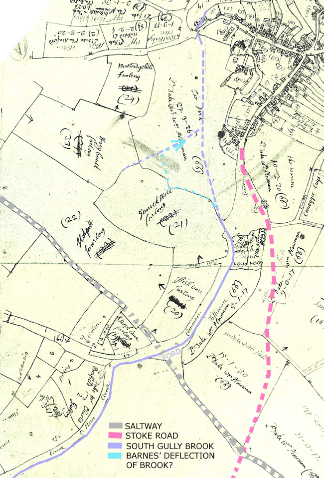
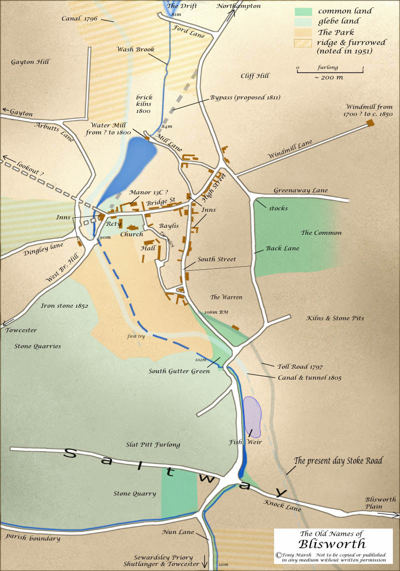
The image shown below is the same as used in the centre of the Blisworth Book, 2004, with the addition of the label for 'Saltway' running across the southern part of the parish. A description of the Roman Saltway can be found on this website. The map could be updated to show what I now believe to be a large fish pool that was probably in use up to about 1700 just south of the Green.
The map is a hotch-potch of features from various dates (eg. see 1727 map) and therefore should be used with care. Perhaps of help to those familiar with the village, the canal and the 'cut' and tunnel mouth are ghosted in to show their position in relation to other features, particularly the Green which was destroyed in the process of building the canal. The main line of the railway is completely omitted. In error, the minor road joining Mill Lane to the road to Gayton was omitted. The inclusion of height markers in metres state the surveyed altitude of the stream above sea-level. The position of the Stoke Road (which began as a toll road) is ghosted in to show its position in relation to the various medieval green lanes.
The location of the Manor opposite the church is now thought to be quite wrong. Wake's seat was more probably located near the Hall.