|
Canal Part II , Blisworth, Northamptonshire, UK. All pictures are presented at relatively low resolution. Printed below each image is the photographer's name, if known. |
|
|
Back to INDEX page Part I This is Part II Part III |
|
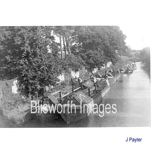 |
08-16 1953 - either tied up for the Coronation or to off-load wheat at a time when the Northampton Arm was closed. |
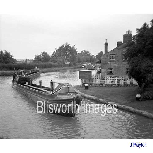 |
08-17 Boats returning empty, high in the water, from delivering wheat to Whitworths near Wellingborough. They are passing through Blisworth Arm en-route for London. It was unusual for boats to waste a trip with nothing to carry. Date c. 1960.
|
|
08-46 Removal of mud from a lock, circa 1960.
The interest here is the nature of the homespun equipment - a
wheelbarrow with a small hand-winch offering some mechanical advantage.
The fellow below is father of Jim Payler. |
|
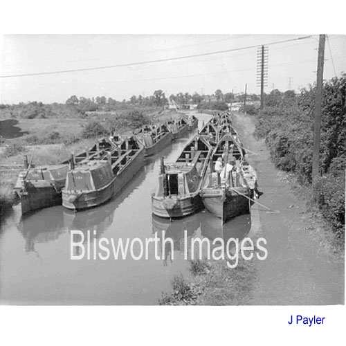 |
08-18 Boats waiting at Hawkesbury for orders and instructions as to which colliery to collect coal and which southern outlet to deliver to. |
|
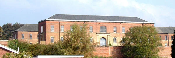
THE FORMER ROYAL ORDNANCE DEPOT AT
WEEDON |
|
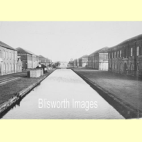 |
08-19 Established at the
same time as the Grand Junction Canal was a site in Weedon comprising of many storehouses for muskets, gunpowder etc.
Creating the Royal Ordnance Depot, well guarded, with a direct link to the
canal and later to the railway was a natural thing to do.
There is a very short overview of
the depot which provides a little more detail. |
|
There
is an impression of the interiors
here One occupant of some buildings is the The Fire Services National Museum Trust who hope to set up a national museum of firefighting. The Weedon Bec History Society arranged an inspection of one of the warehouses on 22nd Sept 2008 simply to gather an impression of the interior of the buildings which is available on this website. |
|
 |
08-41 By the north tunnel entrance. |
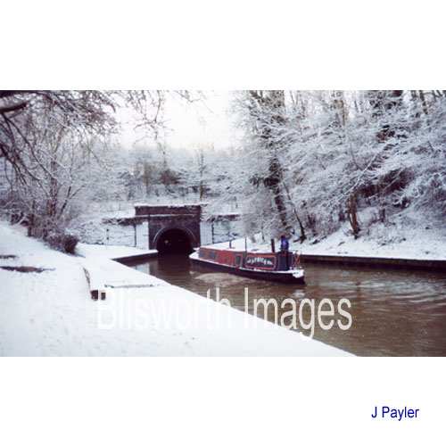 |
08-42 Pleasure boat Africa entering the tunnel. |
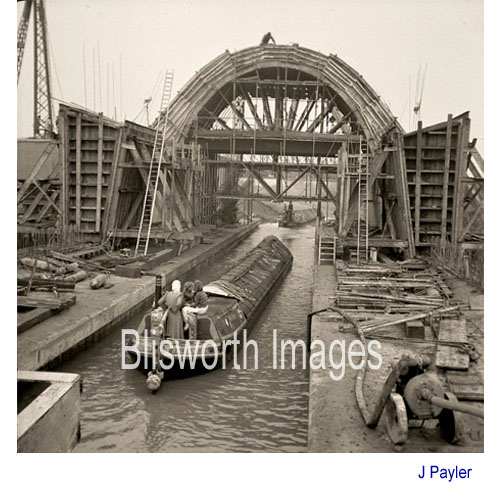 |
08-44 Construction of the bridge for the M1 motorway in about 1958/9. |
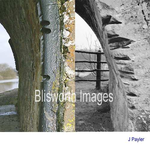 |
08-45 Over many years even the iron shoulders added to bridges to protect the brick or stonework become notched by tow ropes engrained with mud. The picture on the left is No.50, Candle Bridge. The picture on the right shows damage done to a limestone canal bridge on a little used stretch of water. |
 |
08-47 Winter, mid 1970's by the tunnel mouth. |
 |
08-48 Autumn 1975, several of the beech trees have now gone. |
 |
08-49 In the 1950's there was not much pleasure traffic and much of the canal transport was being taken by the roads. Late summer - the tow path is very overgrown . . . |
 |
08-50 . . . and the canal itself very overhung. In the present day, the edges are kept tidy for the leisure traffic. |
 |
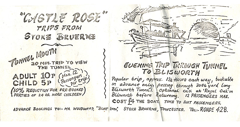
08-45a Dated 1966 this picture shows the dismal state of the towpath at that time. Boat trips were beginning to be offered - see the next panel and note how reasonable the prices were! |
 |
|
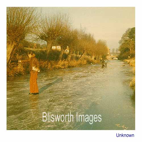 |
08-51 Dated early 1970's, an alternative leisure activity which does not require a serviceable towpath! |
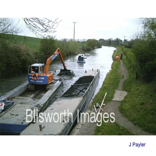 |
08-56 The dredging operation immediately prior to the Bicentenary event 2005. This is at Candle Bridge. |
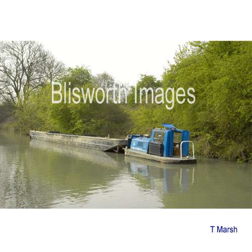 |
08-57 The container mud boats are pushed by tugs - this one is empty and is returning to the dredger. |
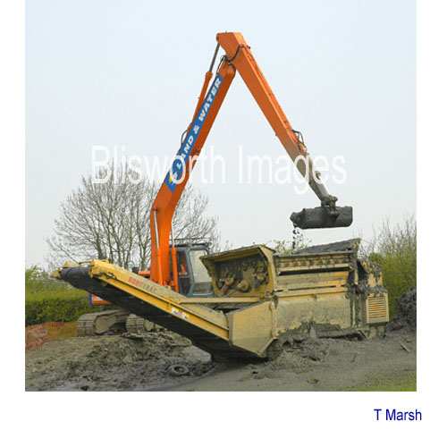 |
08-58 Container mud boats were moored at Blisworth Arm and a long reach excavator was used to transfer mud and rubbish to a diesel driven sorter/elevator at the edge of an adjacent field. |
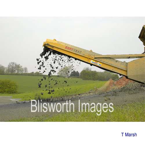 |
08-59 The machine formed a slippery "pile" of mud while stones and miscellaneous objects were separated alongside. |
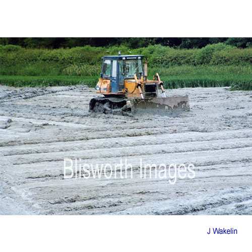 |
08-59a The final stage of spreading the mud out over the field. It was pulled hundreds of yards by this machine to cover the field in a few inches of waste which, when dry, was blended into the topsoil. A total of about 12000 tonnes of mud was extracted. Of the solid objects found, only a couple of iron handles were found from a wooden crate used in carrying stone in the narrow boats. |
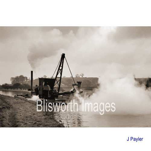 |
08-62 Back in the 1950's, the canal company used a steam-driven dredger pictured here north of Blisworth - compare with 08-56 above. |
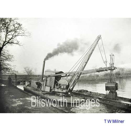 |
08-63 An archive picture
of a steam-driven dredger, location and date unknown.
|