| MAIN STATION AREA
|
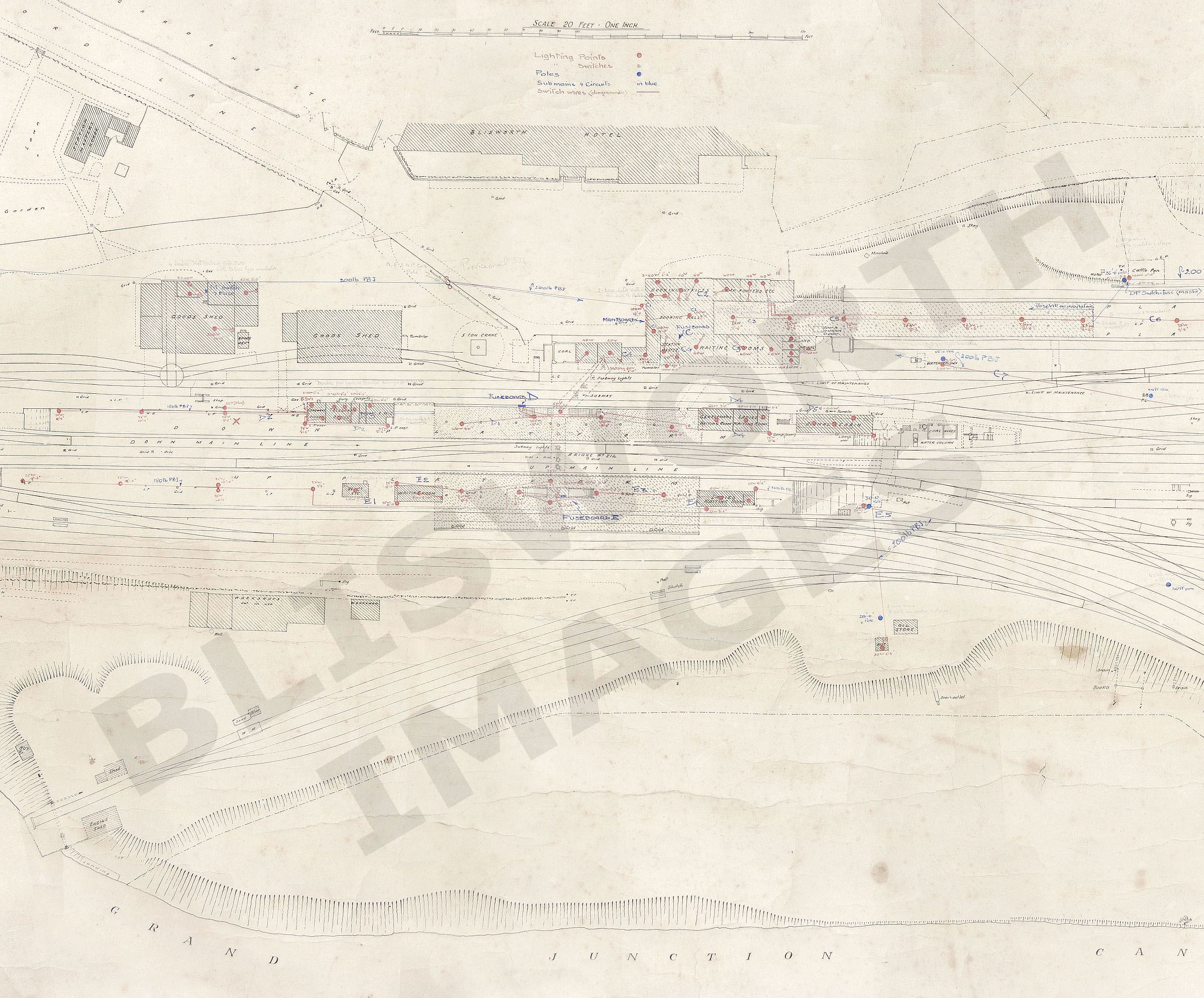
| MAP No. 2: Loundes was built in
1846 but the access to it by gate is shown leading to gardens etc.
The manner in which Ford Lane continues towards the north (through a
portal) resembles that shown in some old
photographs dated c1900. The workshops that GF identifies as
the wagon works are marked "Not in Use" and appears to lack a
forge chimney - does this mean that the original map predates the old
photograph of the wagon works
(complete with forge chimney) said to be 1884?
Quick Escape to Home Page |