|
Earth Works , Blisworth, Northamptonshire, UK. All pictures are presented at relatively low resolution. There will be hundreds of pictures on this site - there is an economic limit to the webspace available. The point of this presentation is that you can see for yourself the extent of the collection and return later as the collection expands - as it surely will. Any interest in copies of a picture at a higher resolution (ie. clarity) should be directed through contacts given in the Blisworth "Round and About" parish council publication or using the comment form on the home page. In some cases the pictures are not available due to copyright restrictions. However, permission has been obtained, where possible, to include them here. Printed below each image is the photographer's name, if known. |
|
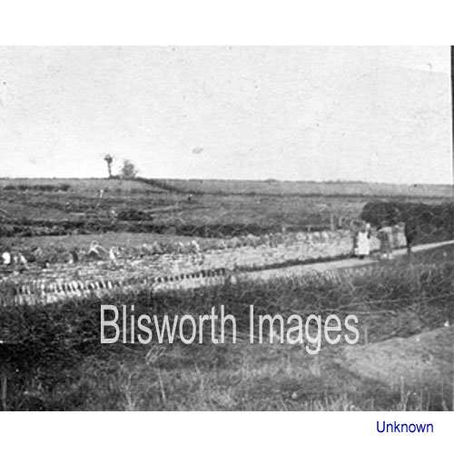 |
12-01 This is a view of the allotment field taken, approximately, from the driveway of Victoria House. Judging from the dress the date is c. 1910 and so the field was still part of the ironstone mining. The well and drum is not visible because it is set in a cutting for the railway which ran down to the ironstone bridge over the canal. |
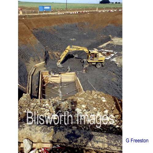 |
12-02 Preparation for the bypass at the Gayton Rd bridge in 1990. Note the abrupt switch from ironstone bearing "sands" to blue clay a few metres down.
|
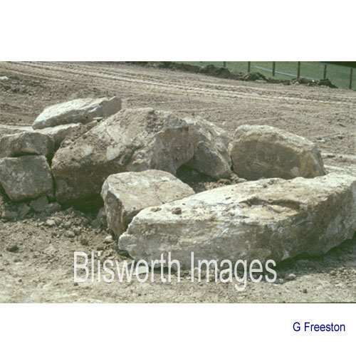 |
12-03
A quarter of a mile to the south of the previous location, where the bypass was not going to be in a cutting, there is a considerable amount of limestone over the "sands". This is near to the Rectory Fm old limestone quarry. |
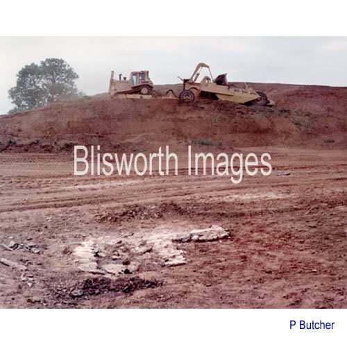 |
12-04 One hundred yards to the north of the bridge (12-02) this Roman corn-drier was unearthed just below the field surface. The enormous pile of soil in the background is merely a collection of topsoil rather than the formation of a cutting.
|