|
Village Traffic Calming , Blisworth, Northamptonshire, UK. All pictures are presented at relatively low resolution. Printed below each image is the photographer's name, if known. |
|
 |
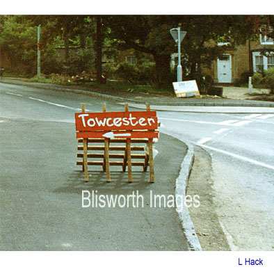
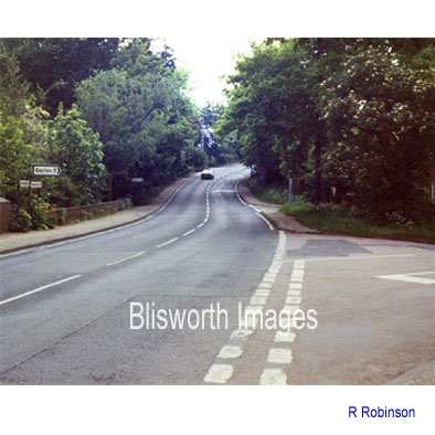
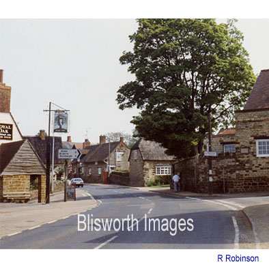
Once the bypass for the village was complete, the road through the village was "detrunked" from A43 status to something less than a B road. Politicians claimed the opening of the bypass would reduce traffic through the village by 90%. Richard Hennessy conducted a statistically significant traffic count of his own in 1993 and showed that the average daily vehicle count had dropped from around 14000 to an estimated 5000 to 6000. However, the quietness of the road through the village had encouraged speeding and by 1993 traffic advisers came up with a plan. They would calm the traffic, not with sleeping policemen as residential properties were too near the road for that, but with growths added to the pavements to deliberately bottle-neck the flow. There were four places which were modified - the Towcester Road near to the 30mph speed-limit sign (with a chicane as seen in the picture to the left), the junction of the Towcester Road and the Gayton Road by the mill, the staggered cross roads at the Royal Oak and the meeting of ways at Elm Tree Corner. The chicane at the Towcester end of the village came as a potentially deadly shock to so many drivers that the Min. of Transport had to remove the measure within 6 months. |
|
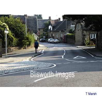
The effect of the traffic calming measures were not as
much as the road engineers predicted. As indicated below, a
significant improvement in vehicle speed is noted at Elm Tree corner, by
the school. For traffic proceeding towards Towcester (but not the
other way) their passage by the Royal Oak is much calmed.
Elsewhere the benefits are marginal. |
|
|
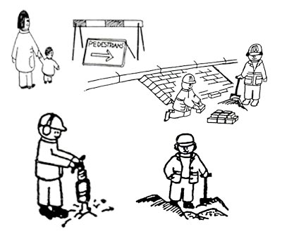
A PLANNING NOTICE WAS POSTED AROUND THE VILLAGE TO EXPLAIN THE SEQUENCE OF WORK. 1 Gateway foundations. IT WAS FUNNILY DECORATED WITH SOME
CARTOONS TO PUT OUR MINDS AT REST. |
 |
 |
|
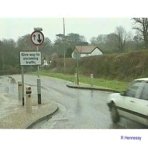
| At the mill, the detrunked road was rendered of lower status than the way from the High Street to Gayton. Note the old white line to be erased in the right-hand "after" photograph and the hand crafted sign to Towcester. It is fair to say that the new junction works well to slow traffic coming into and leaving the village. However, with later road signs for Blisworth either being too small or vandalised, drivers of heavy goods vehicles tend to think the way to Towcester involves bearing right. A kerb crunching multi-point turn has been crafted in front of Grafton House. | |
 |
 |
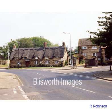
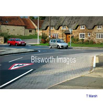
| At the Royal Oak, the High Street is rendered subsidiary to the Stoke Road. The substantial cobbled attachment to one side of the road shown in the right-hand picture is either completely ignored and driven over at 40mph, or is sensibly heeded and driven over at 20mph or is seen at the last minute and leads to an erratic swerve to continue a course for Northampton. Traffic setting off from the halt sign, having guessed at the intentions of oncoming traffic viz. "straight on" versus "turning right", may violently swerve and mount the kerb on the right so taking the space from which this right-hand picture was taken. The signs now in use are smaller than those clearly visible in the left-hand picture - many drivers wanting Northampton head off towards Stoke Bruerne or just stop across the junction and shout, even get out, for confirmation. There have been no injuries here yet but a certain amount of red and white glass has been strewn on the surface! | |
 |
 |
| The conversion at the Elm Tree Corner seems to work well as vehicles from Northampton have to wait on the halt sign as in the right-hand picture. The paved area to the right is for a bus stop. The substantial extension to the pavement on the left works well in slowing traffic leaving the village - those passing through at 40mph at last have to slow down there. Traffic turning towards Courteenhall, or coming from there, have a turn with adverse camber. We have seen a 15 ton trailer with grain overturned by a careless tractor driver. | |