|
Demolitions , Blisworth, Northamptonshire, UK. All pictures are presented at relatively low resolution. There will be hundreds of pictures on this site - there is an economic limit to the webspace available. The point of this presentation is that you can see for yourself the extent of the collection and return later as the collection expands - as it surely will. Any interest in copies of a picture at a higher resolution (ie. clarity) should be directed through contacts given in the Blisworth "Round and About" parish council publication or using the comment form on the home page. In some cases the pictures are not available due to copyright restrictions. However, permission has been obtained, where possible, to include them here. Printed below each image is the photographer's name, if known. |
|
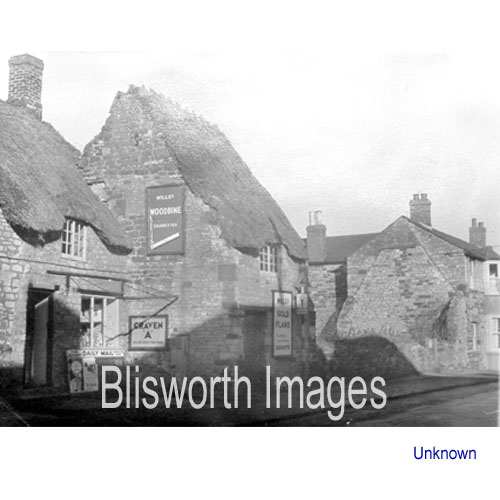 |
10-01 This was a council house in the High Street next to Phillips' paper-shop (see Shops section). Despite the step forward in the building line, against which a village pump is fixed, the two houses appear to be sharing their gable walls. Therefore it is not surprising they had to be demolished together. A new paper-shop and a police house were subsequently built in the gap created. |
 |
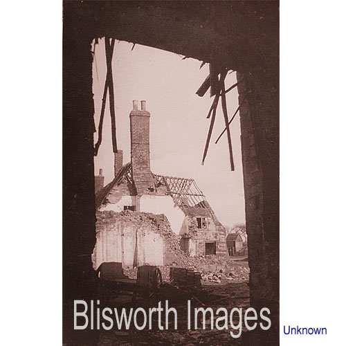
10-08 Standing inside the house centred in the above picture, the camera records the pump in position. |
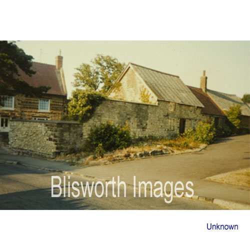 |
10-02 The entrance to what was "Allen's Yard" aka "Johnson's Yard" off the Stoke Road. Crieff House can be seen to the left. There were once three dwellings, the largest of which had a gable end at the road demolished c. 1950 (see the Stoke Road section) and the smallest extended as far as the high chimney in this picture. Back in 1839, a Grafton map shows the two furthest dwellings drawn as one but modified to show a division. The central cottage pictured here was renovated in 2000. Note that the next picture is also of Allen's Yard.
|
 |
10-02a This was once the view looking up the yard. On the street front, Stoke Road, there was a tailors to the right and an end-on house to the left - see the Stoke Road section, picture 30-03 in particular. |
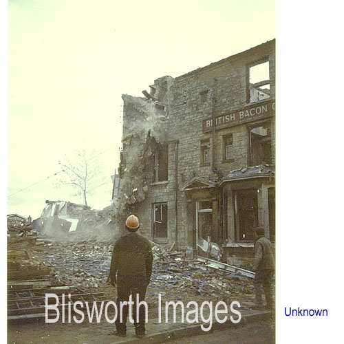 |
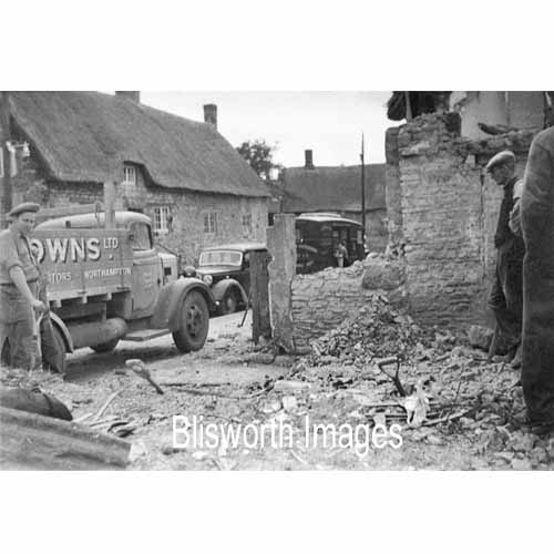
10-03 The demolition of the Bacon factory "tall house" in 1967. |
 |
10-04 Home Farm, Stoke Road,
was demolished in about 1966 to provide space for Buttmead. In the
bottom right corner is visible the top of Church Lane. The long
house near Church lane is the farm house and the next picture shows the
right-hand high gable of that building. On the extreme left is the
old school - as the village hall it looks much the same, from the front,
as it did then but now has a new front door to the right of the porched
door - please see Schools section.
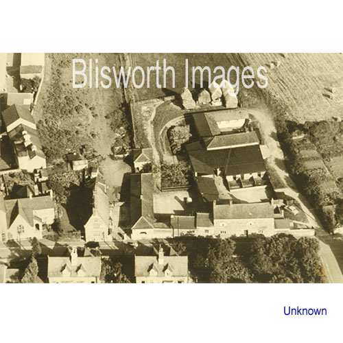
Behind the old school are some Bacon factory buildings which were demolished in 1967. Between the old school and Home Farm there is a house and yard which is much the same now. There was an associated one acre paddock running as far back as the back lane (RD2 path) but it was used to accommodate Eastfield street and the Eastfield play-area. This picture is supposed to be taken in 1958. |
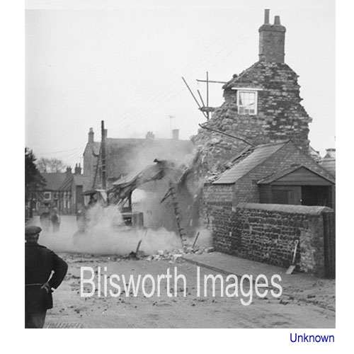 |
10-05 Demolition of Home Farm house in December 1966. |
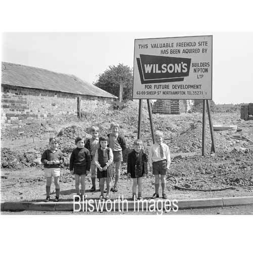 |
10-05a This is the view across Stoke Road after Home Farm was removed. Effectively the camera is pointed up Buttmead and some council houses of Connegar Leys can be seen on the skyline. The picture of the children is included, enlarged, in the Personalities section, part IV, in the hope that they can be identified. |
 |
10-06 A rather artistic view of the old stone Westley building (see 30-11 in the Stoke road, Part II section) during the period of its demolition - it's a fair bet it was taken by Walter Alexander. Date c. 1938. |
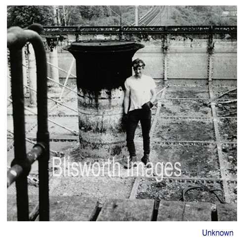 |
10-07 Dated c. 1970, this picture shows a be-goggled worker engaged in dismantling the water tank on the roof of the "Gas House" at Blisworth Station - see the Railways section for other photographs of the station. |